Routine inspection of power transmission lines is critical for securing the uninterrupted distribution of electricity. Recently, energy service providers have been turning to the sky in…
Remote sensing is the science of obtaining the physical properties of an area without being there. It measures emitted and reflected radiation captured typically from…
The Wuhan coronavirus outbreak has become a global calamity, leaving thousands dead, millions vulnerable, supply lines collapsed, economies derailed, factories shunted and cities under lockdown.…
Digital twins are digital representations of physical assets and systems in the context of their surrounding environment, converged with their engineering information, for understanding and…
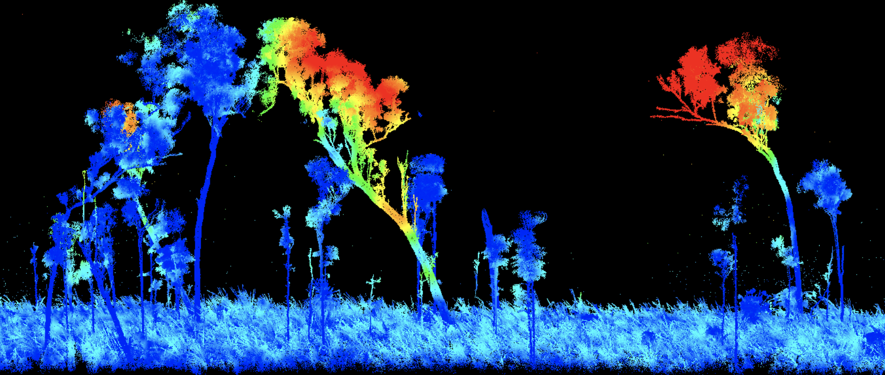
LiDAR has various applications in surveying, sensors, drones and laser scanning. So people are fairly acquainted with this technology, which is among the major emerging…
Reach M modules are what you need for UAV mapping. For different techniques and different requirements, you always have a suitable “Reach” GNSS module. More…
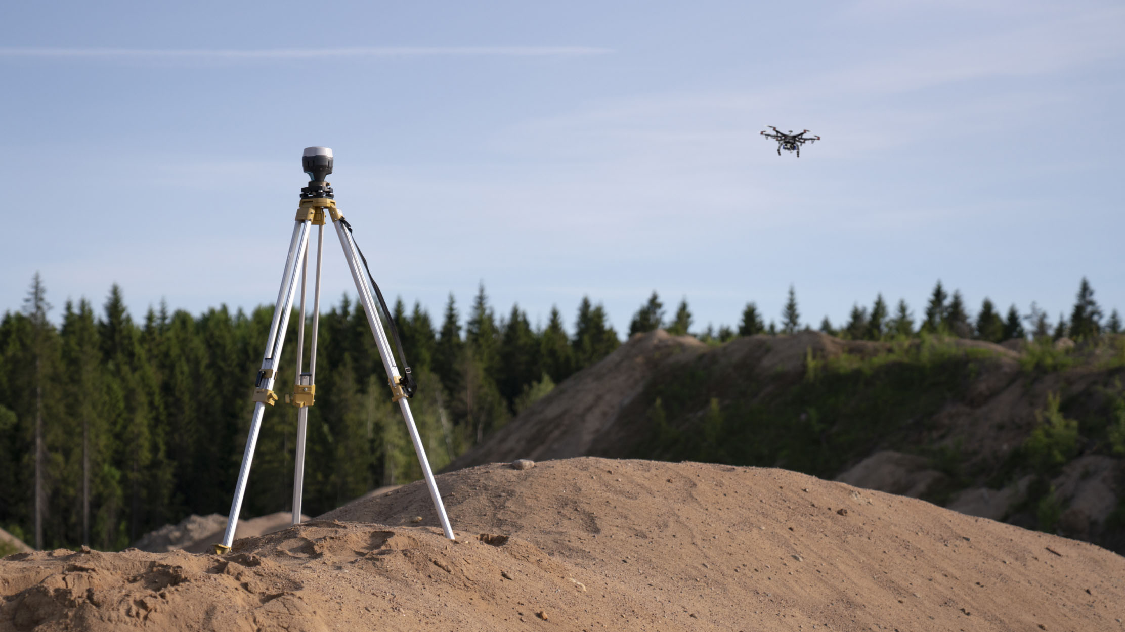
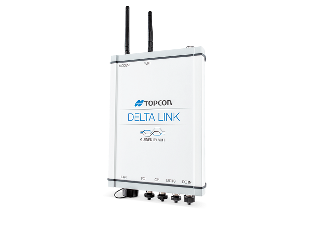
STUTTGART, Germany – September 18, 2019 – Topcon Positioning Group announces advancements in its inspection and monitoring portfolio designed to ensure longer term health of…
Lausanne, Switzerland: Photogrammetry software company Pix4D has launched its first ever Climate Contest. People from around the world are invited to submit a project which…