Forestry 4.0: How the “Digital Twin” of the Forest Is Created
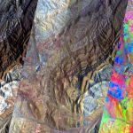
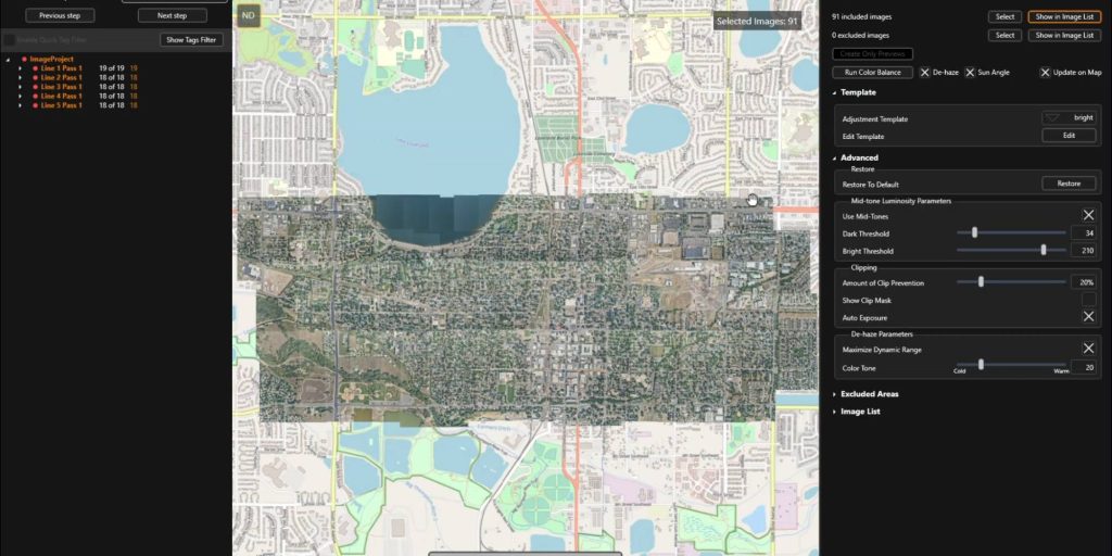
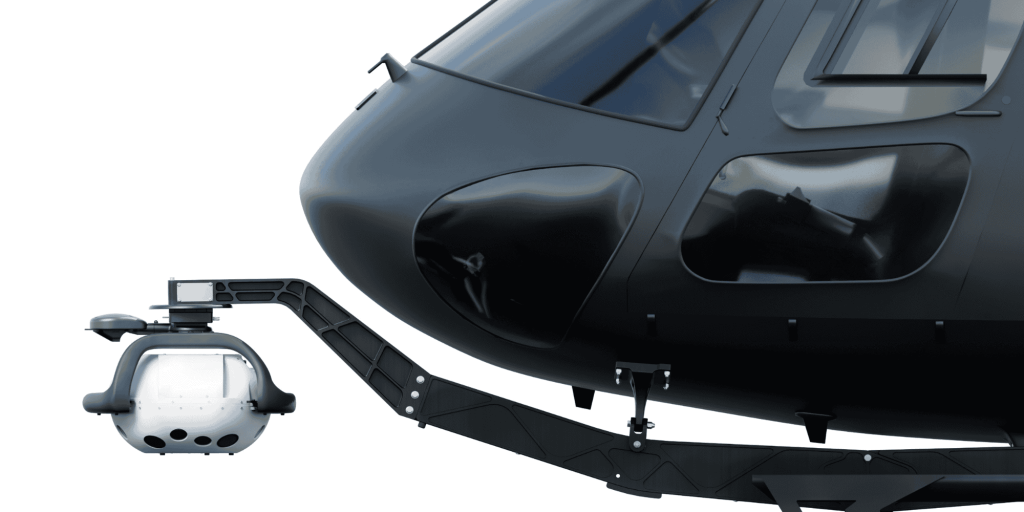
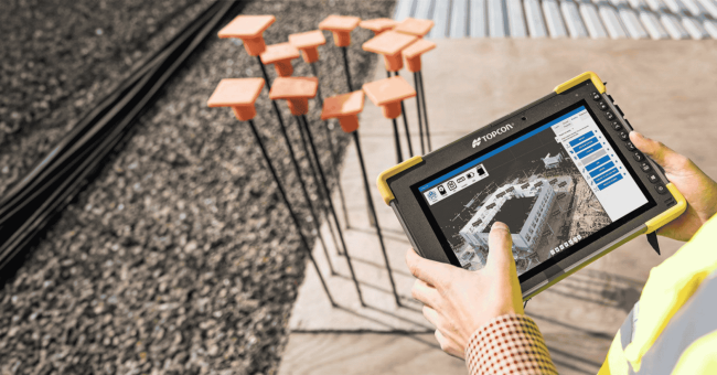
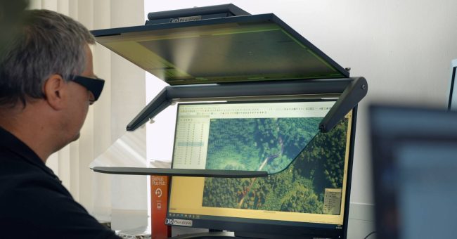
“A practical report on photogrammetry, stereoscopy and AI” The sustainable management of forest areas is undergoing a paradigm shift. Where a look at the forest management plan used to be…