Rebuilding a National Artery: Behind the Technolog…
By
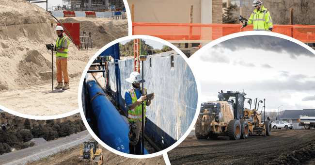
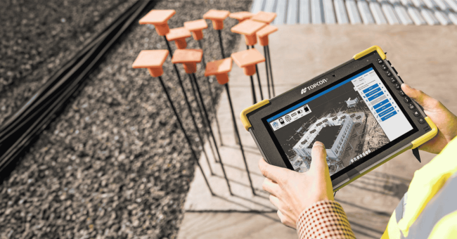
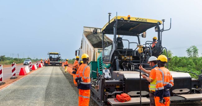
The reconstruction of the Ashaiman Roundabout to Akosombo Junction section of Ghana’s Eastern Corridor is more than just a road upgrade; it is the renewal of a…
3 min read
https://42260fc7.sibforms.com/serve/MUIFAI0g5omex7JC7ohlzkhwswvMu7RgBE5qdPDzbQIf_ykD-0mTWPNBocW1iWjYdLJxXXOj7vzQHCzSaoNf5SU1NgZ–Day0F4jba8dw7htB42lUN5Euhd4aY1cVU_L5l1aNZcIh3ZSLyUf0nvFZzUf55tglNtG37g6zly6yqrsrBGgj9RYbxqaxLxcxOuh7pSxeQstLcXOHF7-