
Phase One introduces advanced aerial mapping camera
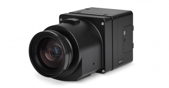
Phase One has announced the iXM-RS250, its next-generation aerial mapping camera designed to push the boundaries of performance, integration and operational efficiency. Built on the renowned iXM platform, this new…
< 1 min read
With its industry-leading coverage and newly designed sensor, the iXM-RS250 is developed to enable operators to complete mapping missions significantly faster. By reducing flight time by 25-30% and requiring up to 38% fewer images, the system cuts fuel costs, reduces aircraft hours and extends the lifespan of equipment, all while maximizing productivity in the air.
From dense cityscapes to long corridors
The iXM-RS250 introduces Phase One’s new IIQ-X compression format, delivering up to 90% smaller files than traditional 16-bit TIFFs while maintaining unrivalled image quality. The optimized data format integrates seamlessly with leading geospatial workflows, accelerating the path from image capture to final deliverables.
Designed for maximum versatility, the iXM-RS250 is supported by a brand-new range of six lenses, developed specifically to unlock the full potential of its new IMX811 sensor. Whether deployed in hybrid, compact or oblique system configurations, this camera is ready for any mission – from dense cityscapes to long corridors and wide-area mapping. Its drop-in compatibility with existing iXM setups ensures a seamless upgrade without disrupting established operations.
“With the iXM-RS250, Phase One reaffirms its commitment to enabling geospatial professionals to do more, faster. By combining ultra-high resolution, dramatically improved workflow efficiency and unmatched integration flexibility, the iXM-RS250 sets a new benchmark for aerial imaging systems and marks a powerful step into the future of aerial mapping,” stated Thomas Allin, CTO, Phase One.

