
New Kodifly mobile mapping system for advanced road mapping and asset management
Kodifly has unveiled its SpatialSense360 (SS360) mobile mapping system, aimed at elevating the standards of road infrastructure mapping, monitoring and maintenance. Engineered for seamless integration with any inspection vehicle, the…
< 1 min read
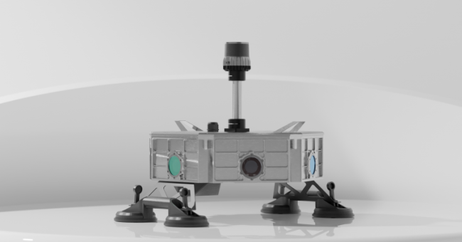
Kodifly has unveiled its SpatialSense360 (SS360) mobile mapping system, aimed at elevating the standards of road infrastructure mapping, monitoring and maintenance. Engineered for seamless integration with any inspection vehicle, the system’s multi-sensor configuration empowers high-speed 3D mapping of road corridors, immediate detection of city assets, and the generation of precision georeferenced digital twins. Kodifly is a frontrunner in the urban spatial-tech landscape.
As cities continue to expand, technology that delivers geospatial intelligence to support resilient, connected urban ecosystems is becoming increasingly critical. The SS360 system features 360° Lidar, high-definition cameras, GNSS and an inertial measurement unit (IMU) to deliver dense, survey-grade 3D data in real time. The integrated Lidar and imagery capture provides both geometric detail and visual context in a single pass, offering a rich and actionable dataset for maintenance planning, infrastructure upgrades and compliance reporting.
By enabling inspections at normal traffic speeds, SS360 minimizes disruption, saves time and enhances worker safety for municipalities, contractors and asset managers involved in infrastructure digitization.
Enhancing data-driven infrastructure decisions
SpatialSense360 also supports the smart-city evolution by enhancing data-driven infrastructure decisions. Thanks to real-time digital twin creation and accurate spatial insights, urban planners and operators can prioritize interventions, optimize budget allocations, and improve road safety.