
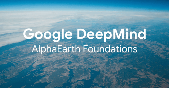
Google has launched AlphaEarth Foundations, an advanced AI model that brings the Earth into unprecedented focus. Developed by DeepMind, Google’s artificial intelligence research lab, the system acts as a ‘virtual satellite’, fusing billions of data points from satellite imagery, radar, 3D mapping and climate simulations into a continuously updated, high-resolution portrait of the planet.
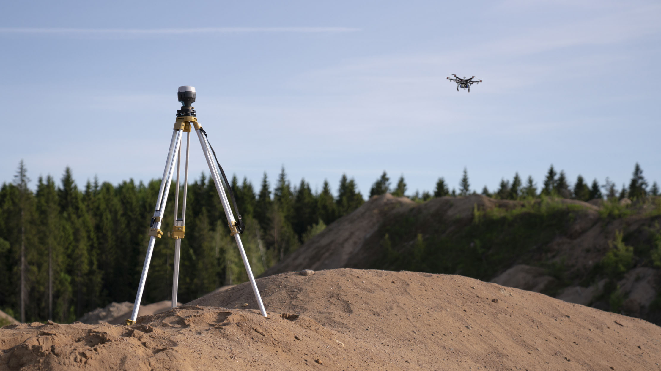
Designed for precision and scale, AlphaEarth is positioned as a resource for scientists, policymakers and businesses, providing a new way to monitor and understand environmental change in near real time. The initiative forms part of Google DeepMind’s wider strategy to apply AI for societal benefit, accelerating climate research, improving disaster preparedness and supporting sustainable urban development.
AlphaEarth transforms diverse datasets into compact, editable 10-by-10-metre ’embeddings’ that require 16 times less storage than conventional AI systems. This approach reduces data fragmentation and storage demands while making the information easier to work with. The generated embeddings are now publicly available as the Satellite Embedding dataset in Google Earth Engine, covering the years 2017 to 2024.
More than 50 organizations are already applying these datasets to projects such as mapping previously unregistered ecosystems, monitoring deforestation and tracking land use changes. The embeddings have been used in initiatives like MapBiomas and the Global Ecosystems Atlas to fill critical knowledge gaps.
DeepMind’s model also improves analytical accuracy, with an average 24% reduction in error rates compared with earlier AI models for surface classification and land cover mapping. The ready-to-use format of the embeddings allows researchers, governments and businesses to begin analysis without extensive preprocessing, enabling activities such as comparative studies, clustering, change detection and automated classification.
By making high-quality, spatially precise data more accessible and efficient to process, AlphaEarth Foundations is set to become an essential tool in environmental monitoring, biodiversity protection and sustainable development. The launch marks a major advance in applying geospatial AI to address some of the world’s most urgent challenges.