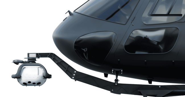


Emesent, a global leader in autonomous mapping technology, launches the Emesent GX1, the world’s most accurate integrated Simultaneous Localization and Mapping (SLAM) and Real-Time Kinematic (RTK) scanner.
The product marks a significant breakthrough and industry first, by achieving 5-10mm global accuracy to deliver unparalleled precision for topographic surveying and building and infrastructure construction. It can even reduce the time required to survey a site by up to 95%, reducing what once took weeks into a single day of scanning.
“A job that we might have been on for three or four days doing terrestrial, we might have been four or five hours of scanning plus setup time – and one day you’re on and off site with Emesent technology.”
John Philipp, Director and Spatial Solutions Manager, Orion Spatial Solutions
The GX1 is an integrated, all-in-one system where LiDAR, RTK, cameras, and software work together seamlessly from capture to validated deliverable. It not only brings SLAM technology proven in the world’s most challenging environments to everyday surveying applications, but it also eliminates the longstanding trade-off faced by survey firms and the Architecture, Engineering, and Construction (AEC) industry between mobile scanning speed and dependable accuracy.
Learn more about Emesent GX1, https://emesent.com/emesent-product/gx1