
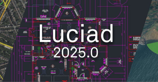
Hexagon’s Safety, Infrastructure & Geospatial division has announced the release of Luciad 2025.0, a major update to its suite of tools used in real-time situational awareness and advanced location intelligence applications.
The new version includes upgrades to visualization, mapping, and the handling of geospatial data, particularly tailored for defense and intelligence use cases.
Luciad 2025 expands support for the National Imagery Transmission Format (NITF), the standard for digital imagery used across U.S. defense and intelligence organizations. Updates to LuciadFusion and LuciadLightspeed now enable both georeferenced and non-georeferenced views, improving the interpretation of NITF images and vector overlays. LuciadFusion also introduces browser-based viewing, offering broader accessibility and control for analysts and developers.
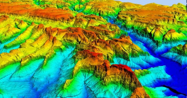
Another enhancement comes in LuciadCPillar, which now includes a view-based line-of-sight feature. This visual tool transforms terrain data into actionable intelligence, offering improved awareness of visibility and contributing to safer and more effective operations.
LuciadRIA and LuciadLightspeed now support integration with Microsoft Azure Maps, allowing existing Bing Maps users to transition without workflow disruptions while gaining access to modern, actively supported mapping services.
“The latest upgrades to the Luciad portfolio underscore our dedication to innovation by delivering enhanced visualization, expanded standards support and improved performance,” said Mladen Stojic, president of geospatial for Hexagon’s Safety, Infrastructure & Geospatial division.
“These updates not only strengthen our users’ ability to work with critical geospatial data but also ensure seamless integration with evolving technologies like Microsoft Azure Maps. We’re excited to continue enabling our customers to unlock the full potential of their geospatial intelligence.”
Luciad 2025.0 is expected to be available by the end of June 2025.